
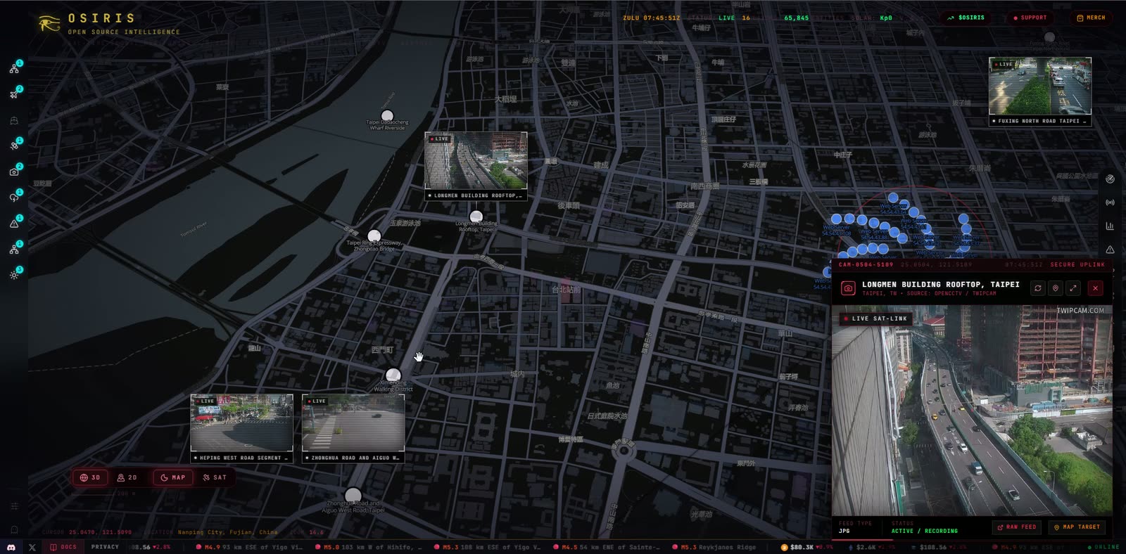
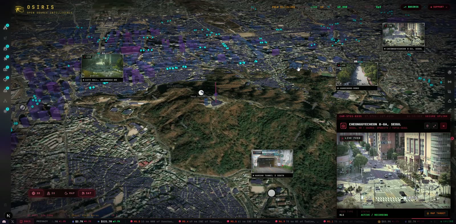
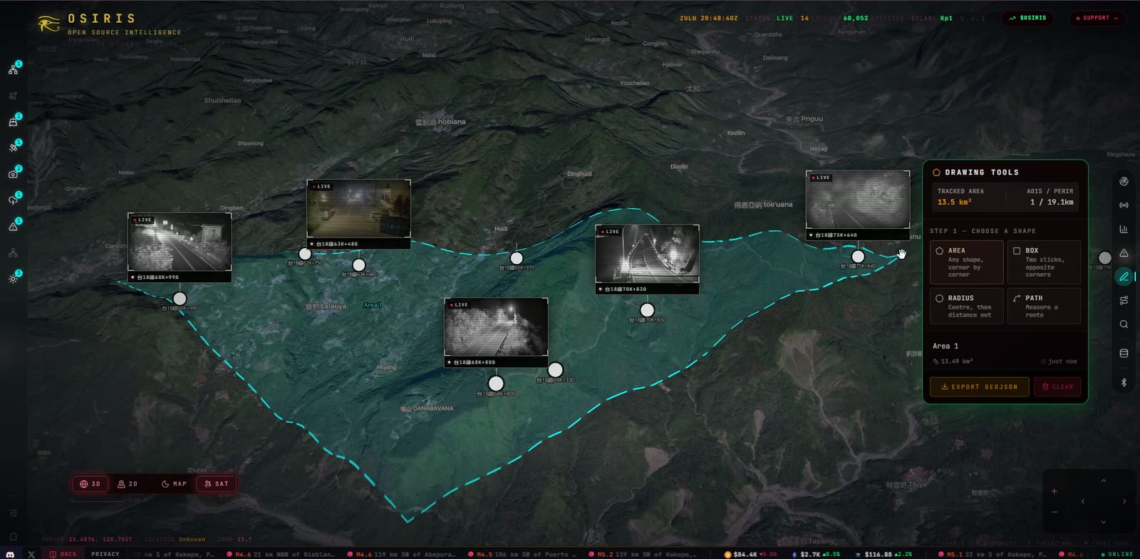
OSIRIS V5.0: the first tagged release of the open-source intelligence platform. It brings live flights, satellites, CCTV, earthquakes, conflict data and a full RECON toolkit together on one GPU-rendered globe.
✨ New in V5.0
A proper first impression
- Opens on the satellite globe. The splash lifts onto the whole Earth, turned to your side of it and wrapped in the full tracked fleet: about 19,000 objects, with the Satellites layer now on by default.
- Flies to your city. Once the splash has gone, the camera dives from orbit to where you are in one smooth move. If your location can't be found, it lands on a random city with dense live-camera coverage, a different one each visit.
- Honest loading. The splash lifts when the map has actually drawn, and SYSTEM READY now means it. The interface glides in as one sequence.
- Everyone lands on their own city. Location now comes from each visitor's own public address and is never cached across visitors (#398, #400).
RECON → FINGERPRINT
A live public-profile search that replaces Infostealer (#394):
- Username, email or phone, with username results streaming in from 462 platforms as each one answers.
- Every hit is re-checked against random control handles, so soft 404s show as Unsure rather than Found.
- Category filters, card and table views, CSV/JSON export, and a local search history.
Also since the last milestones
- Live Alerts rebuilt and pinned to the places they name, with their footage playable in place (#376, #380).
- More cameras: Texas TxDOT snapshots (#368); Lithuania, public webcams and Edmonton, 652 cameras each checked (#378); a saved camera catalogue for faster loads (#345).
- Region dossier on a double right-click, naming places even in open country (#387, #390, #392).
- 3D terrain and smoother camera controls (#330).
- Telegram feed widened across the spectrum, with each source's lean labelled (#375).
- Hardening: the ArcGIS proxy no longer fetches arbitrary addresses (#385), rate limits that actually bind (#387), Nominatim use within its policy with OpenStreetMap credited (#381), and derived or missing data no longer shown as observed intelligence (#370).
🚀 Run it
Prebuilt Docker image: amd64 and arm64, published by this release.
docker pull ghcr.io/simplifaisoul/osiris:5.0.0
docker run -d -p 3000:3000 --env-file .env ghcr.io/simplifaisoul/osiris:5.0.0
Docker Compose / CasaOS
git clone --branch v5.0.0 https://github.com/simplifaisoul/osiris.git
cd osiris && cp .env.template .env && docker compose up -d
From source
git clone --branch v5.0.0 https://github.com/simplifaisoul/osiris.git
cd osiris && npm install && npm run dev
Then open http://localhost:3000. See DOCKER.md for API keys and CasaOS.
Live demo · Report a bug · Discord · Support the project
🤖 Generated with SIMPLIFAI